NASA planes will fly inside snowstorms to help give us better weather forecasts

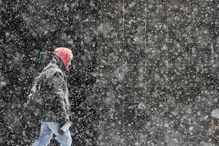
For many of us, a few inches of snow can be a nuisance, or at the very least keep us from getting to work on time. The worst part about impending snowstorms, however, is when we have no idea how much snow we're going to get during a given snowfall event. Meteorologists often give us an estimation of what we're up against with the fluffy precipitation, but the work that goes into bringing viewers an idea of whether they should call in to work or get out the shovel is hard, frustrating stuff. Many snowstorms actually can't be observed closer than what modern instruments already allow, thanks to parts of storm clouds that scientists just don't know much about. Luckily, NASA is putting together a snowstorm study meant to help improve these types of forecasts by, well, learning more about said clouds.
NASA's latest venture is called the Investigation of Microphysics and Precipitation for Atlantic Coast-Threatening Snowstorms, or IMPACTS. The team is looking to understand how "ribbons" of snow clouds, otherwise known as snow bands, form and change as they bring snowfall to areas on the East Coast. The idea is to get an understanding of how they form right down to the ice crystals inside.
Many frustrations come from the inaccurate weather forecasts that come of a lack of knowledge about what's going on in the sky. NASA is working to solve this very issue with the amount of research it's banking on expanding with IMPACTS.
"This field campaign, IMPACTS, is going to provide information that’ll improve these models," said Gail Skofronick Jackson, NASA's Earth Science Division program manager for weather and atmospheric dynamics.
This program is the first time NASA has made it a point to study East Coast-centered snowstorms in 30 years, and it will collect data over the course of six weeks. Additional sessions in 2021 and 2022 will take place as well to help scientists better understand the inner workings of winter storms.
NASA is going to utilize planes and send them directly into the middle of snowstorms to take charge of this special campaign – more specifically, a P-3 Orion and a high-altitude ER-2 aircraft. The P-3 Orion will take flight from Wallops Flight Facility in Virginia with the goal of taking measurements within storm clouds. The ER-2 will launch from a Savannah, GA army base, touch base with the P-3, and then soar above the cloud tops of the storms. They'll then work in tandem to use a variety of different instruments to measure what's going on inside of the weather events.
The P-3 can determine the size, shape, and concentration of a variety of components of the storm, like snow crystals and raindrops. It'll also have the ability to estimate the total ice and liquid water present inside of a specific snowstorm. The ER-2 will take a more overall image of the storm, as it will use three radars and LiDAR to map the snow band's structure as well as where the most snow is falling. This information alone should give scientists more power to offer more accurate forecasts.
The data will be subsequently transmitted to the University of Illinois at Urbana-Champaign and the State University of New York at Stony Brook, which will both act as ground teams to launch weather balloons, use truck-mounted radar, and scan storms as they roll in. NASA will also offer this information to the National Weather Service, which can be called on to launch additional weather balloons if needed.
It's researchers' hope that, with all of this additional information, they'll finally be able to understand snow bands and how these storms are formed in the first place.
"I can’t say with confidence today what makes those snow bands," principal IMPACTS investigator Lynn McMurdie told The Washington Post. "That’s what I hope to find out."